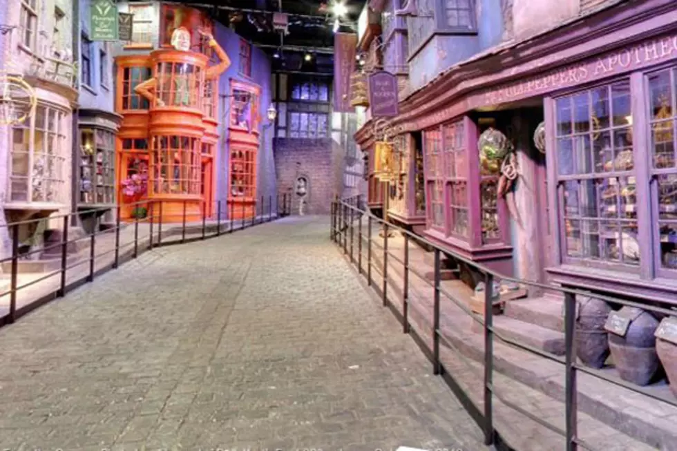
Google 3D Maps Brings Cities to Life
If you're already impressed with the level of detail on Google Maps and Google Earth, wait until you take a look at Google's new 3D mapping technology, which was announced this week.
On Thursday, the search company unveiled a sneak peek of their new, greatly enhanced modeling. According to Google, they can now create entire 3D cities from 45 degree aerial angles. A quick tour of San Francisco is below.
"Every single building here is modeled and that’s important because we’re trying to create magic here” said Peter Birch, a Google Earth product manager. "We’re trying to create that illusion that you’re flying over the city.”
Google doesn't have a release date yet for their revamped Earth feature, but they are expected to unveil 3D models of several more cities by the end of the year
One of the advantages of the technology, which is geared toward mobile devices, will be that the maps will be available offline, meaning that you can access them on your phone even if you are out of range. (Although you would need to download the map first.)
What do you think of Google's new 3D maps? Are they detailed enough to check out in lieu of a real vacation?
More From TheFW


